Bird.i
Aerial Photographers & Surveys in Glasgow
20-23 Woodside Place
Glasgow
G3 7QL
Contact Numbers
Landline: 0141 58... 0141 582 1256
Social
Opening hours
Monday to Friday: 9am - 5pm
Saturday to Sunday: Closed
Key Services
About
THE FRESHEST AND BEST IMAGES AT YOUR FINGERTIP
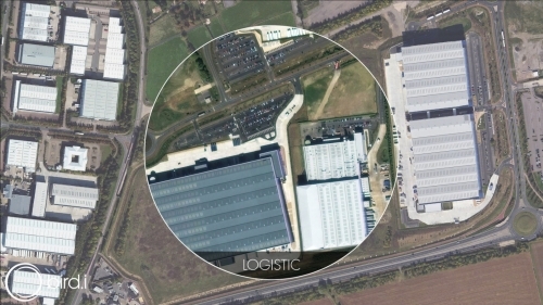
We curate more than 10 million sq km of the best satellite, airborne, and drone imagery every day. That's more images from more sources than anyone else.
All of our images offer 1.5 meters resolution or better. And because we know it matters to you, we provide the most recent images available; meaning you can stay bang up-to-date with what's happening in your world.
Available through a super simple API subscription service, our images integrate seamlessly into your mapping applications and location based services; delivering a fresh view of our world that everyone can explore, anytime. All in a matter of clicks.
At Bird.i, we're passionate about making the world's most incredible satellite, airborne and drone images, and the insights they provide, accessible to absolutely everyone. So while what we do might be amazingly clever, we'll always keep things simple for our users.
With unprecedented access to enhanced images and actionable insights, your informed decisions can now be even more informed. You don't even need to know what kind of image you're looking for, just what you want to see.
And because we strive to remove complexity in everything we do, we've also lowered the contractual, financial, and technical barriers to access. Keeping things effortless across the board.
Reviews
There are currently no reviews for this company
Leave your review of Bird.i
All fields are required. Your review will appear immediately.


